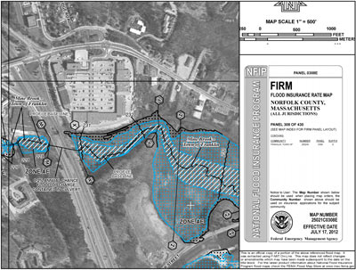
ELEVATION CERTIFICATES
Elevation certificates are prepared to define the vertical relationship between a
structure and a potential flooding source. Many public and private lands lie in areas
that have been defined by FEMA (Federal Emergency Management Agency) as
"flood zones". Many people who own land in a flood zone are mandated to carry a
flood insurance policy. Elevation Certificates, and the vertical elevation data
contained therein, are used to evaluate a particular parcel's risk of damage due to
flooding and help to determine the dollar premium for the flood insurance policy.
Back to Home
Massachusetts Service Area: Attleboro, Bellingham, Braintree, Bridgewater, Brookline, Canton, Dedham,
Dover, East Bridgewater, East Walpole, Easton, Foxborough, Framingham,
Franklin, Grafton, Holliston, Hopedale, Hopkinton, Hudson, Marlborough,
Maynard, Medfield, Medway, Mendon, Milford, Millis, Milton, Natick, Needham,
Newton, Norfolk, North Attleborough, Norton, Norwood, Plainville, Raynham,
Sharon, Sherborn, South Walpole, Southborough, Stoughton, Sudbury, Upton, Uxbridge,
Walpole, Wayland, Wellesley, Westborough, Weston, Westwood, Wrentham.
Continental Land Survey, LLC
105 Beaver Street, Franklin, MA 02038
Ph: 508-528-2528
Email:
|
Continental Land Survey, LLC
PO Box 920575, Needham, MA 02492
Ph: 508-528-2528
Email:
|
|
|